 Spring
  Summer
 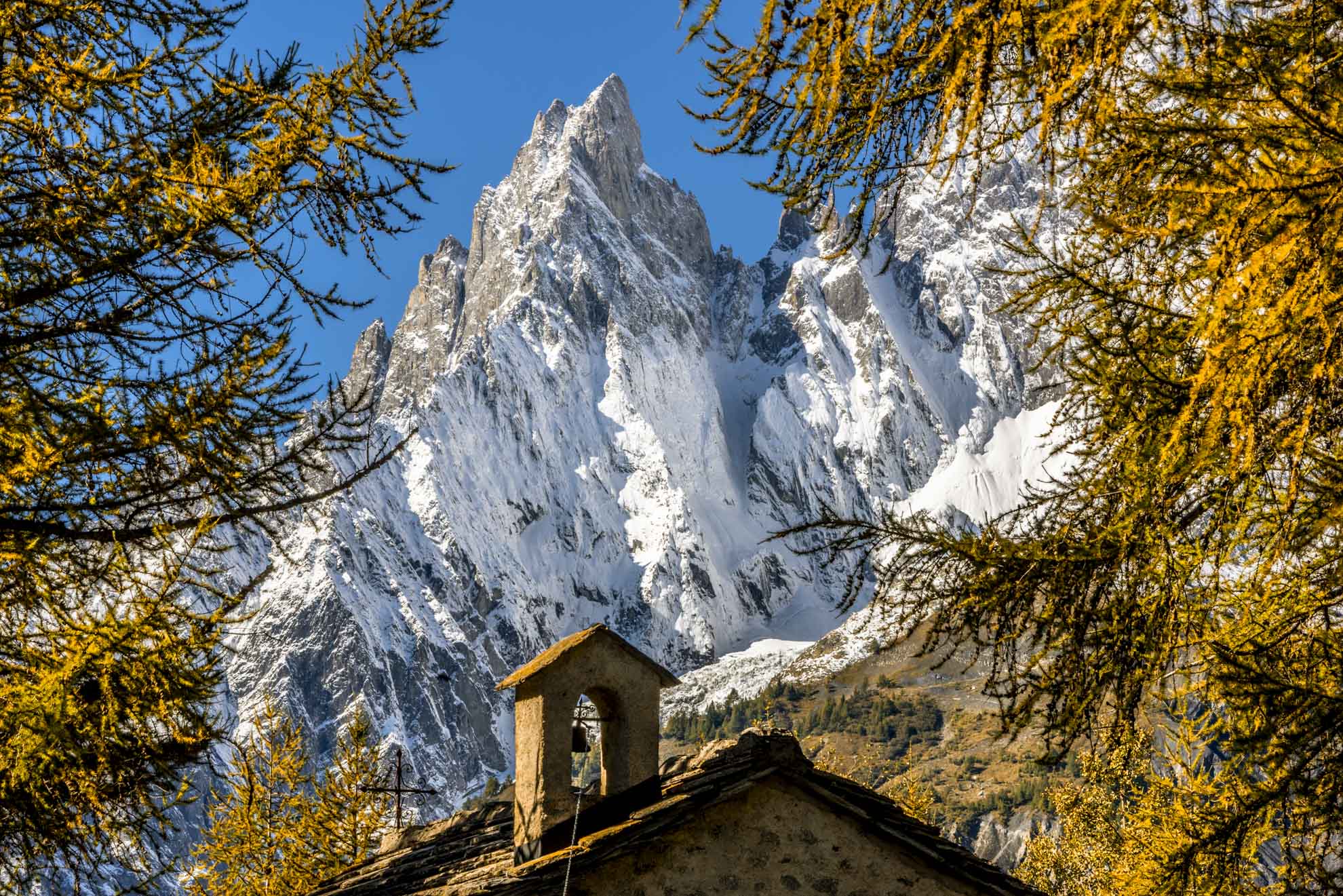 Autumn
  Winter
 Col Ferret
Located along the route of the Tour du Mont Blanc, the Col du Grand-Ferret connects the Val Ferret of Aosta Vallley with the Swiss one and offers beautiful views. Priceless view of the Pré-de-Bar glacier, the Ferret valley, the Col de la Seigne, and the border between Italy and Switzerland, you can also see the border with France at the bottom of the Val Veny.
Type
E - Trekking
Difficulty
Medium
Recommended period
Summer
Departure
Arnouva (1.770 Mt)
Altitude difference
767 mt
Length
4.392 mt
Duration
2h 30'
Signage
25 - TMB
Itinerary description
From the bus stop in Arnouva, which allows you to reach a point of the route prohibited for vehicle transit, you pass past the Chalet Val Ferret (1,784 meters) crossing a bridge, and continue to a clearing that allows you to go down to the shore of the Dora Ferret up to a magnificent waterfall.
From the esplanade, you can choose whether to take the path that on the right climbs along the side of the mountain or continue along the unpaved road: the journey times are almost identical, but you must pay attention to late snowfields. The path reaches a group of huts in ruins and passes a stream, before facing the last climb to Rifugio Elena (2,062 meters). Built against the side of the mountain to be protected from avalanches, the refuge offers a magnificent view of the Pré de Bar glacier and the east face of the Grandes Jorasses. In the period of early summer, the refuge is surrounded by numerous beautiful flowers of various types.
Behind the hut, the trail turns right to cross the ridge and reaches the Pré-de-Bar Damon pasture. Past the ruins, the path climbs before turning left towards the Col du Grand Ferret (2,537 mt). An orientation board helps to identify the most interesting points of the panorama.
Useful tips for hikers
– According to the regional law it is forbidden to set up tents and camp below 2500m.
– Help us protect the mountains! Remember to leave the paths as you found them: collect your waste, you can throw them and differentiate once you return to the valley.
– In the mountains, you need appropriate clothing: bring with you sunscreen, a windbreaker, and hiking shoes.
– Keep a trail map in your backpack in case you lose your phone line.
– Always consult the weather conditions before organizing your trip.
– There are no refreshment points or fountains along some of these routes. Remember to always bring the right amount of water with you.
– To ensure safety for the youngest hikers, it is advisable to walk along the paths on the side of the mountain.
– Given the presence on the trail of other hikers, but also marmots, squirrels, and other components of the local fauna, it is recommended to keep dogs on a leash.