 Spring
  Summer
 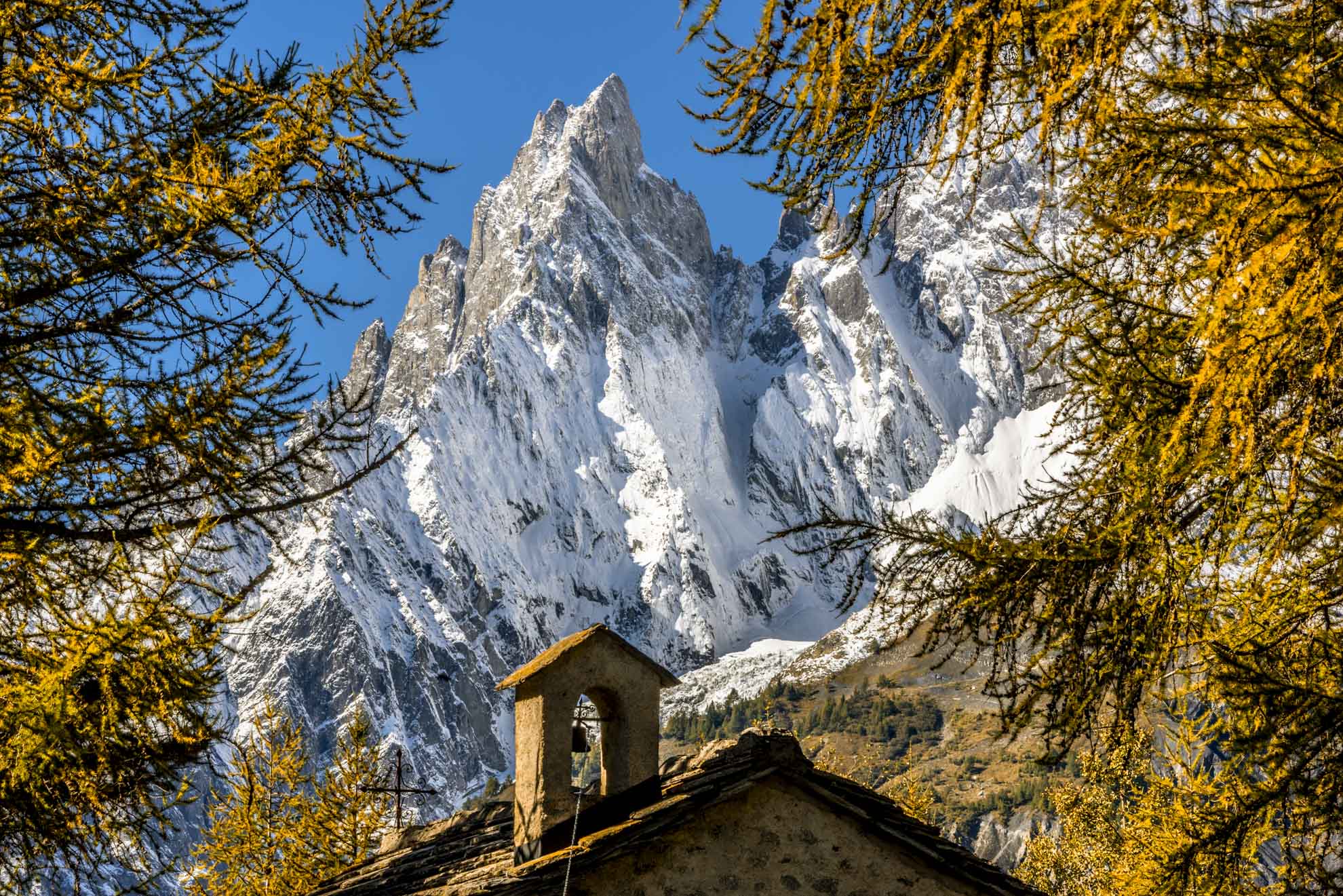 Autumn
  Winter
 Lake of Miage
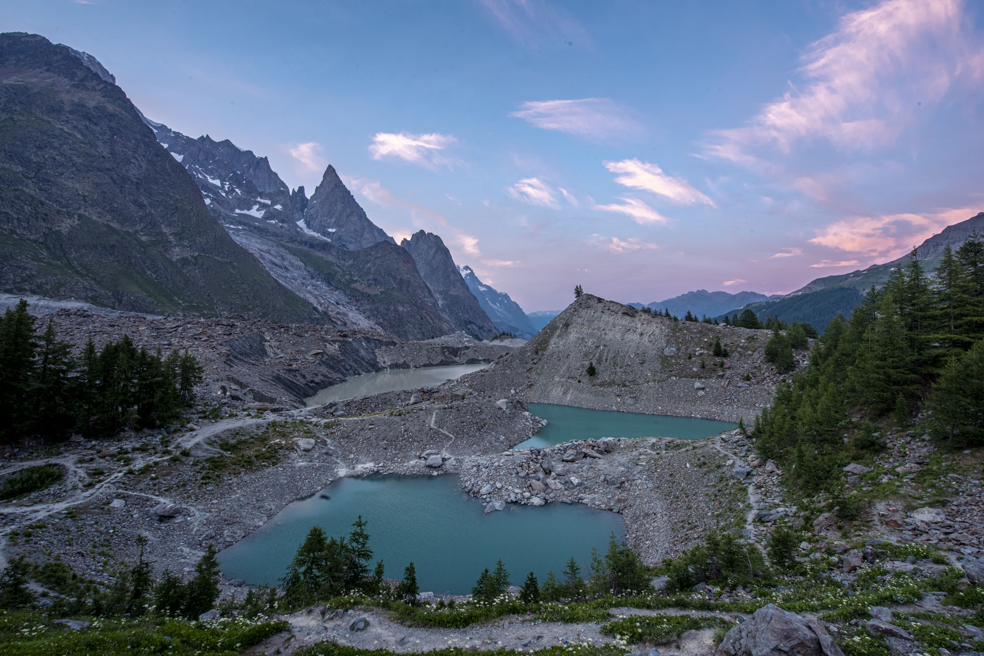
At the front of the glacier, a heart-shaped lake has formed, enclosed by its right moraine.
From its edges, you can see the movements of the glacier that drops blocks into the water. You can cut the two initial hairpin bends.
Not far from the lake, remains of 18th-century fortifications recall the invasions of French troops from the Col de la Seigne.
Type
E - Trekking
Difficulty
Easy
Recommended period
From June to October
Departure
La Visaille (1.679 Mt)
Altitude difference
303 m
Length
3.261 m
Duration
1h 15'
Signage
12 - 18A
Itinerary description
Walk suitable for everyone that starts from the bus stop in La Visaille. You walk on a paved road; after passing the barrier that marks the end of the free movement of cars, a farm road or shortcut both lead to the edge of Lake Combal
On the right rises the lateral moraine of the Miage glacier of the Himalayan type, which starts from the 4,800 meters of Mont Blanc and reaches up to 1,800 meters where it melts feeding the Dora di Veny.
At the end of the climb, you reach the bridge over the Dora di Veny, the stream outlet of Lake Combal.
At the bottom of the valley, you can see the Col de la Seigne, Les Pyramides Calcaires and the glaciers des Échelettes and the Lex Blanche. Still on the right the large moraine of Miage behind which hides the lake of the same name. Take the 18A path that leads to the Cabanne du Combal restaurant, from where you follow the path that climbs on the crest of the moraine on the shore of Lake Miage (2040 mt). The area between the Cabanne du Combal and Lake Miage sometimes offers the opportunity to admire a colony of ibex.
Useful tips for hikers
– According to the regional law it is forbidden to set up tents and camp below 2500m.
– Help us protect the mountains! Remember to leave the paths as you found them: collect your waste, you can throw them and differentiate once you return to the valley.
– In the mountains, you need appropriate clothing: bring with you sunscreen, a windbreaker, and hiking shoes.
– Keep a trail map in your backpack in case you lose your phone line.
– Always consult the weather conditions before organizing your trip.
– There are no refreshment points or fountains along some of these routes. Remember to always bring the right amount of water with you.
– To ensure safety for the youngest hikers, it is advisable to walk along the paths on the side of the mountain.
– Given the presence on the trail of other hikers, but also marmots, squirrels, and other components of the local fauna, it is recommended to keep dogs on a leash.