 Spring
  Summer
 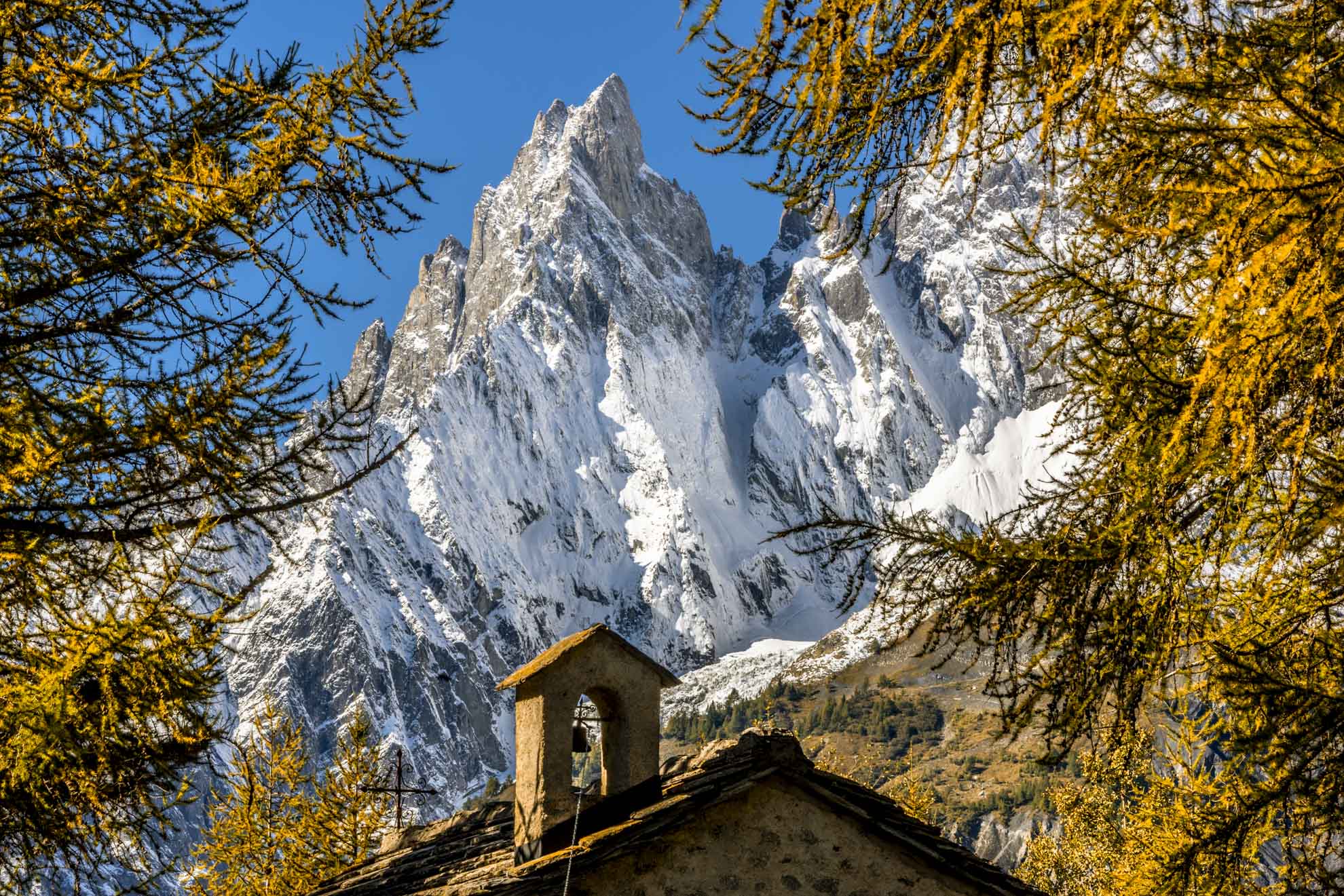 Autumn
  Winter
 Val Vény balcony
An itinerary all at high altitude that guarantees, along the route, glimpses and very suggestive views of both the surrounding peaks, both of the valley below. You could have the opportunity, in the right period, to see some marmots above the wooded areas and majestic birds of prey.
There are no water sources on the route.
Hiking path indicated for a user of medium and high level.
Discover the “Balconata della Val Veny”, with magnificent views of the Miage and Brenva glaciers, the Aiguille Noire du Peuterey, the Piloni del Frêney and Brouillard.
Type
E - Trekking
Difficulty
Medium
Recommended period
From June to October
Departure
Dolonne (1.216 Mt)
Altitude difference
1.271 mt
Length
14.263 mt
Duration
1 day (round trip)
Signage
AV2 - TMB
Itinerary description
From Courmayeur, take the paved road that reaches the village of Dolonne.
The itinerary continues until you reach the arrival station of the cable car, in Plan Checrouit.
Continue on the AV2 route, skirting the alpine swimming pool and the ski slopes, until you first meet the Le Randonneur refuge in Pra Neyron, and shortly after that of Maison Vieille.
Mont Blanc accompanies the ascent to Lake Checrouit where some detours allow you to walk around with spectacular views of the mountain range.
Taking the path, you reach Mont Favre, and then begin the descent through the pastures towards Arp Vieille Superiore/ Damon and Inferiore/ Désot and you get to the dirt road that runs along the lake Combal. Walk along the plain of the Lex Blanche valley alongside the Dora di Vény, and cross the stream on a bridge from which begins the climb that leads to the Elizabeth refuge.
Useful tips for hikers
– According to the regional law it is forbidden to set up tents and camp below 2500m.
– Help us protect the mountains! Remember to leave the paths as you found them: collect your waste, you can throw them and differentiate once you return to the valley.
– In the mountains, you need appropriate clothing: bring with you sunscreen, a windbreaker, and hiking shoes.
– Keep a trail map in your backpack in case you lose your phone line.
– Always consult the weather conditions before organizing your trip.
– There are no refreshment points or fountains along some of these routes. Remember to always bring the right amount of water with you.
– To ensure safety for the youngest hikers, it is advisable to walk along the paths on the side of the mountain.
– Given the presence on the trail of other hikers, but also marmots, squirrels, and other components of the local fauna, it is recommended to keep dogs on a leash.